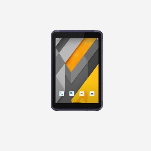


The Rtab 0.5 is a rugged Android™ tablet built to enhance the efficiency and productivity of mobile workforces in applications requiring meter-level GNSS positioning and reliable performance. Portable, durable, and versatile, it supports GIS data collection, environmental surveys, landscaping, and other field scenarios. Its 8.1" sunlight-readable display ensures clear visibility of GIS data tables, complex vector and raster maps, and high-resolution images, even in direct sunlight and bright conditions. With an IP67-rated industrial design, it withstands daily use in harsh environments, making it a top choice for field crews with demanding needs.