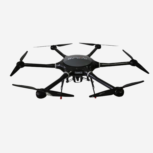
The Unmanned Aerial Mapping solution includes an E300 RTK drone, an optional camera, and flight control software. It offers high accuracy, robust compatibility, extended endurance, and strong performance with an easy workflow. This solution is versatile enough to handle various applications, such as topographic surveys, urban construction, forestry investigation, emergency rescue, 3D modeling, and mining surveying.
- High Accuracy
- Strong Compatibility
- Long Endurance
- High Performance
- Easy workflow


