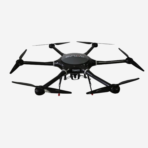
Offer a comprehensive UAV solution for construction, mapping, and surveying needs. This includes a high-performance drone, a range of camera options, and advanced flight control software, all designed to deliver precise and reliable results for various applications in these fields.
- Swift and fast initialization time within 5 minutes
- Beaufort scale level 5 wind speed operations
- Set the home point for the drone to land with precision • Automatic retraction of legs after take off
- Free from line of sight for photo taking


