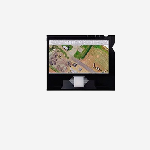


The Business Center aerial photogrammetry office software integrates aerial photogrammetry adjustments and deliverables smoothly with existing survey workflows and data processing features.This technology is widely used in urban planning, construction, and real estate development. It enables professionals to assess site conditions, monitor project progress, and perform measurements without the need for on-the-ground surveys. Aerial photogrammetry provides accurate data faster and more efficiently than traditional methods, helping businesses and developers make informed decisions with minimal disruption to their operations.